


Unlock your potential with our comprehensive collection of free UPSC resources. We simplify the vast IAS syllabus into high-yield GS notes, current affairs decoders, and answer writing templates. Designed for both Prelims and Mains, our materials help you focus on what actually matters for the exam, saving you time and boosting your scores.

Preparing for the UPSC Civil Services Exam is a marathon, and having the right tools is half the battle won. At theIAShub, we’ve stripped away the noise to bring you the most effective UPSC free study material available online.
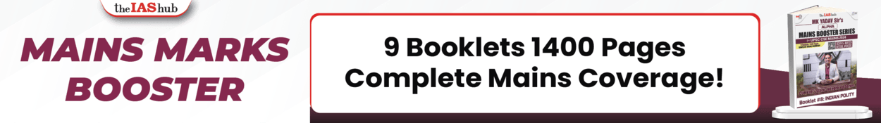
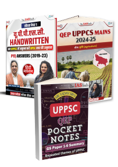
Our focus is on Working Smart. Instead of overwhelming you with thousands of pages, we provide high-yield UPSC notes and IAS handouts that target the core themes others often miss. Whether you're at the Prelims stage or gearing up for Mains, these resources are designed to boost your efficiency and your scores.
We’ve broken down our resources to align with the different stages of your preparation:
Guidance on DAF (Detailed Application Form) analysis and current issues that frequently come up in personality tests.
We don’t believe in 'bulk' material. Every PDF and handout on this page is vetted by IAS faculty and toppers. We focus on providing conceptual clarity and contextual relevance, making your preparation journey smoother and more predictable.
Your optional subject contributes 500 marks to the total. Our UPSC Optional Free Material provides a roadmap for some of the most high-scoring subjects.
Preparation is a journey, and we're here to ensure you never walk it alone. theIAShub's resources aren't just collections of facts; they are strategic tools designed to maximize your Return on Investment (ROI) for every hour you spend studying.
We don't guess what works. Every handout and note is reviewed by those who have successfully cleared the UPSC and State PCS exams.
Static notes lead to stagnant results. Our material is constantly updated to reflect the latest analytical shifts in exam patterns.
Language should never be a barrier to your dreams. We provide extensive, high-quality resources for both English and Hindi medium aspirants.
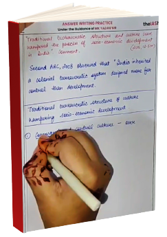
We don't just tell you *what* to study; we show you *how* to study, analyze, and write answers that grab the examiner's attention.
Our support team is here to help with your queries. Reach out to us anytime.

Email Us:
info@theiashub.comContact Us:
+91 95600-82909*theIAShub is a coaching institute and a study platform, it’s a comprehensive mentorship driven program for UPSC success.*
Email Us:
info@theiashub.comContact Us:
+91 95600-82909*theIAShub is a coaching institute and a study platform, it’s a comprehensive mentorship driven program for UPSC success.*
Are you dreaming of becoming an IAS officer? Then, IAShub can be your best guide. It is one of the Best IAS Coaching in Delhi. Many students who want to clear the UPSC exam join IAShub for learning. The institute gives both online and offline classes. Their teachers are experienced and helpful. They easily explain every topic. Students also get notes, tests, and tips to do well in the exam.
IAShub is in Delhi and is trusted by many UPSC students. It offers coaching for every part of the UPSC exam – Prelims, Mains, and Interview. The classes are simple and easy to understand. The teachers are experts and guide students in the right way. IAShub is also known for its helpful notes, test series, and answer-writing practice. IAShub is the best coaching in Delhi and also gives UPSC Online Classes. This helps students from any place in India to learn. The online classes are live and also recorded. So, students can watch them anytime. These classes cover the full UPSC syllabus.
Here are some important services provided by IAShub:
The UPSC Civil Services Exam has three parts:
This exam is tough, but with the right guidance, it becomes easy to manage. Students must study smart and stay regular.
IAShub supports students from the beginning to the end. It gives the right books, tests, and notes. The classes are easy to follow, and the teachers are always ready to help. Students get personal doubt sessions too. The test series and answer checking help students learn where they need to do better. Also, free study materials save time and money.
IAShub also guides students during the final stage – the interview. Experts take mock interviews and give useful tips. This full support makes IAShub one of the best IAS coaching in Delhi.
 Detailed Solutions & Explanations
Improve Your Answer Writing & Strategy
Detailed Solutions & Explanations
Improve Your Answer Writing & Strategy
